-40%
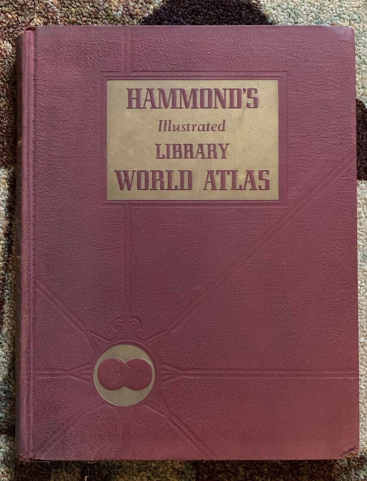
Hammonds Illustrated Library World Atlas Color Maps Book Gazetteer Geography
$ 13.2
- Description
- Size Guide
Description
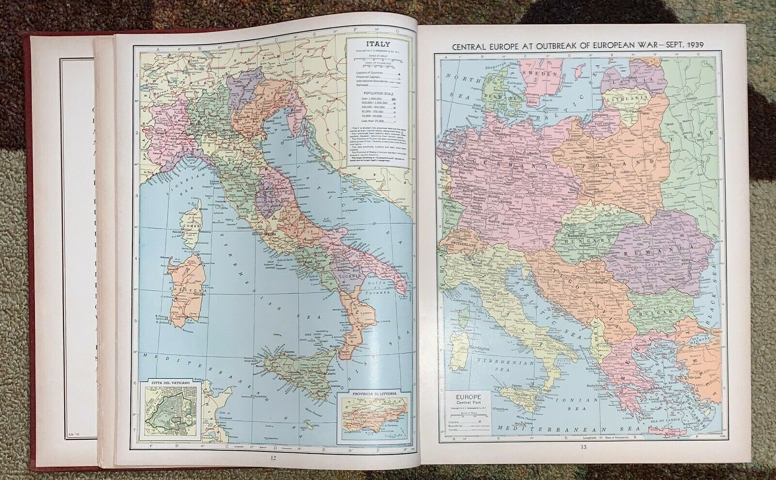
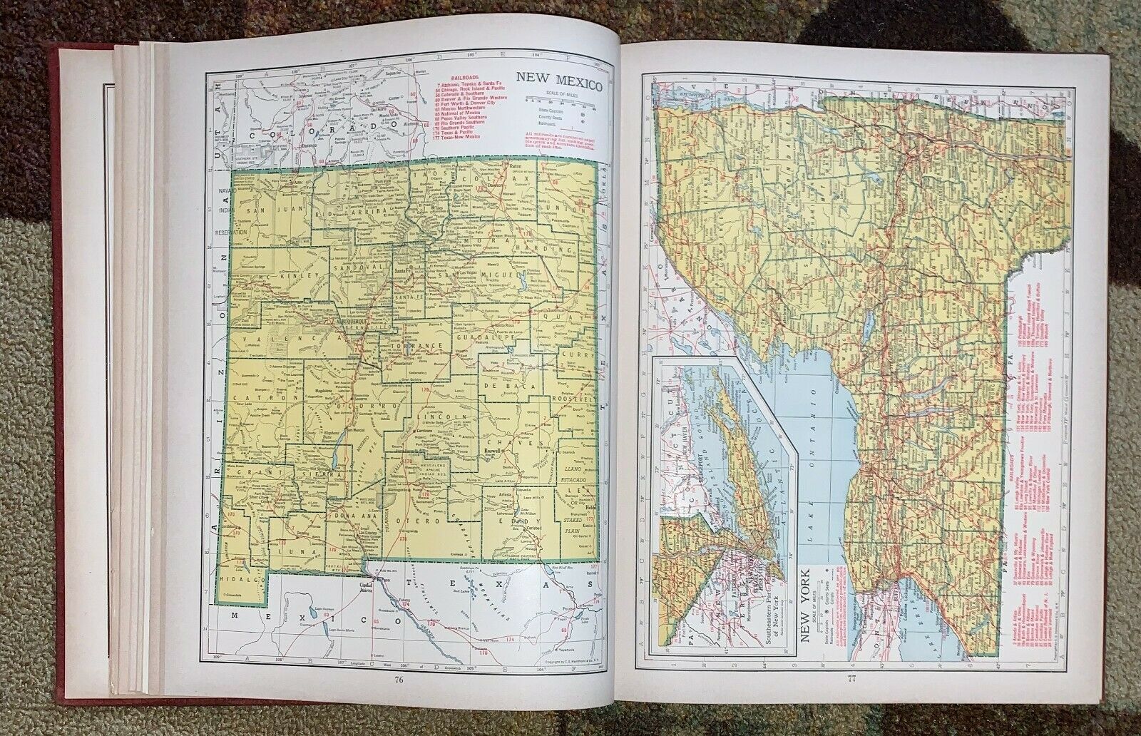
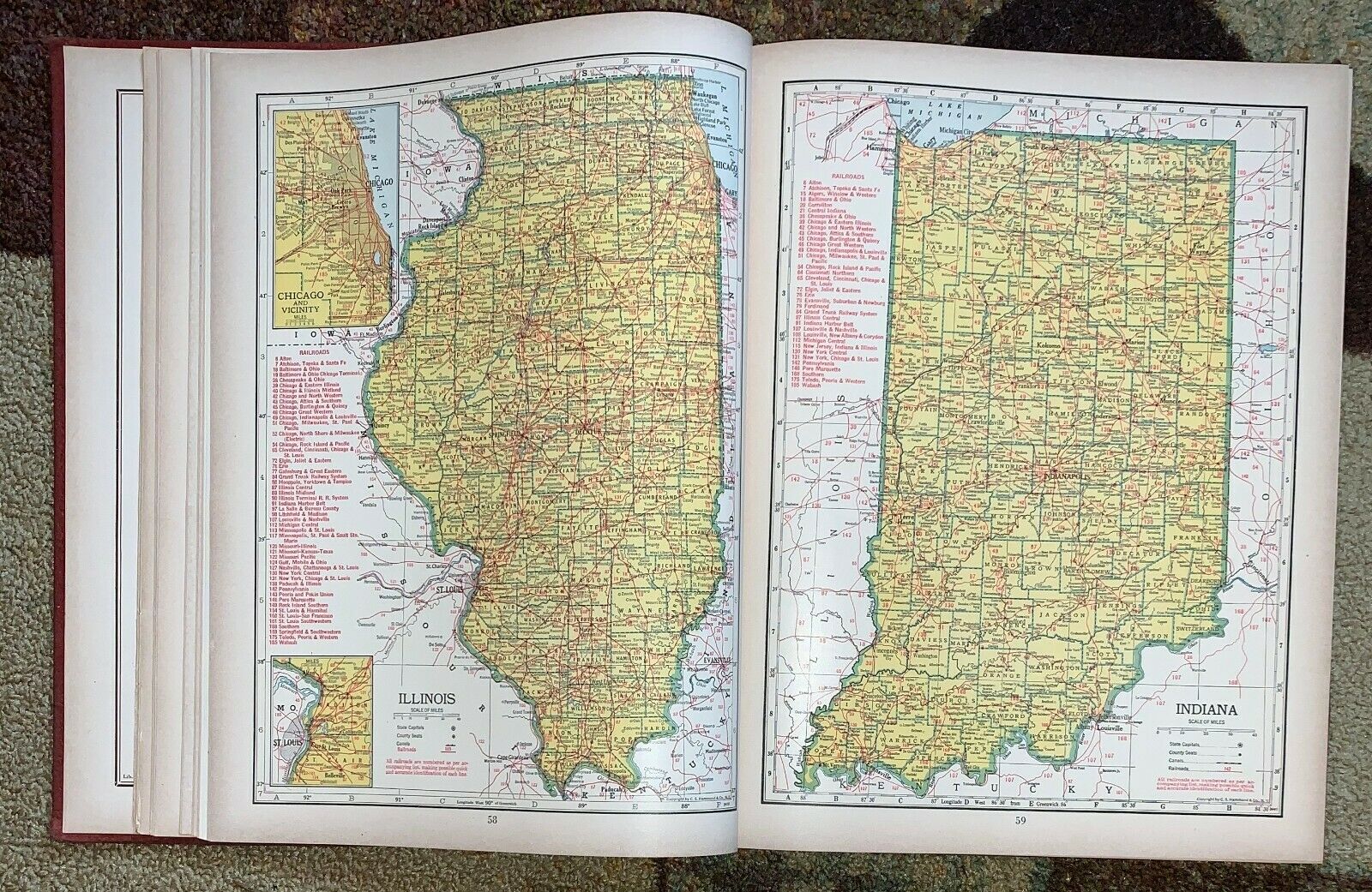
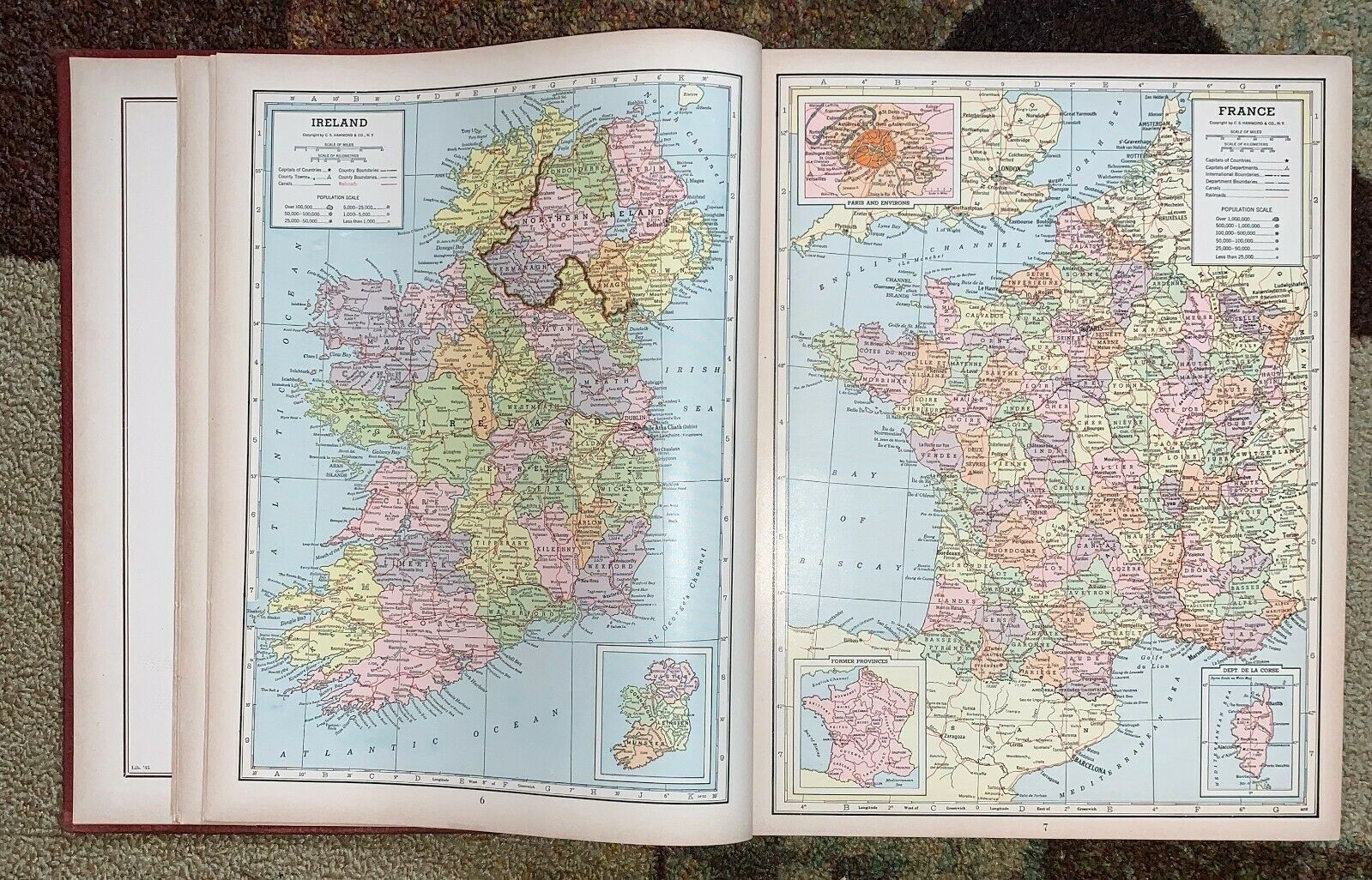
ITEM: Hammond's Illustrated Library World Atlas with political and resource- Relief Maps, Illustrated Descriptive Gazetteers, Pictorial History of World War II, Illustrated World Geography, Races of Mankind, New Indexes, C S Hammond and Company 1947. Hard cover book, spine broke at Contents pages, cracking at back hinge, color maps, 312 pages plus Pictorial Digest of World War II. Book measures approximately 12 1/2 x 9 3/4 inches. Free Library of Philadelphia punch stamp inside.SHIPPING: Buyer agrees to pay calculated shipping rate. We will gladly combine shipments to help save you postage. We ask that PAYPAL payments are also paid in ONE transfer. Payment is expected in 21-days. Thank you! NOTE: Some images are enlarged to show clarity and details.
